
The Mapeirons environmental accessibility map as a web platform: an interactive map with multi-layer filters, a community submission form, a WCAG-benchmark interface, and three languages.

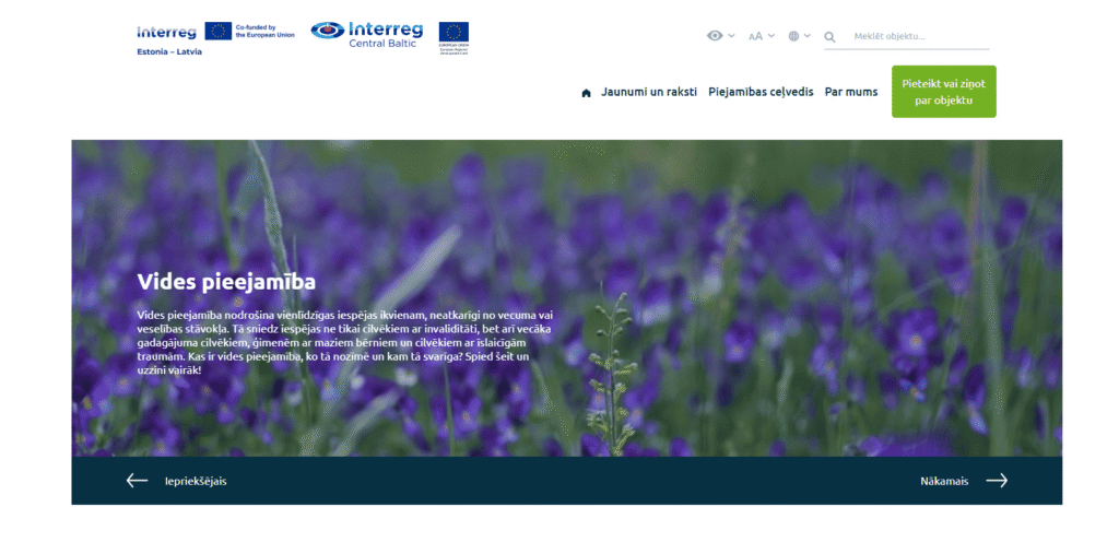
Mapeirons is an environmental accessibility map created by “Apeirons,” an association for people with disabilities and their friends. It’s a platform that brings together accessible locations across an entire region — Latvia, Estonia, and Finland — letting people find out in advance whether a specific beach, trail, museum, or café will suit their needs. For a project like this, accessibility isn’t an add-on feature but the entire point, and that shaped both the content and the technical execution.
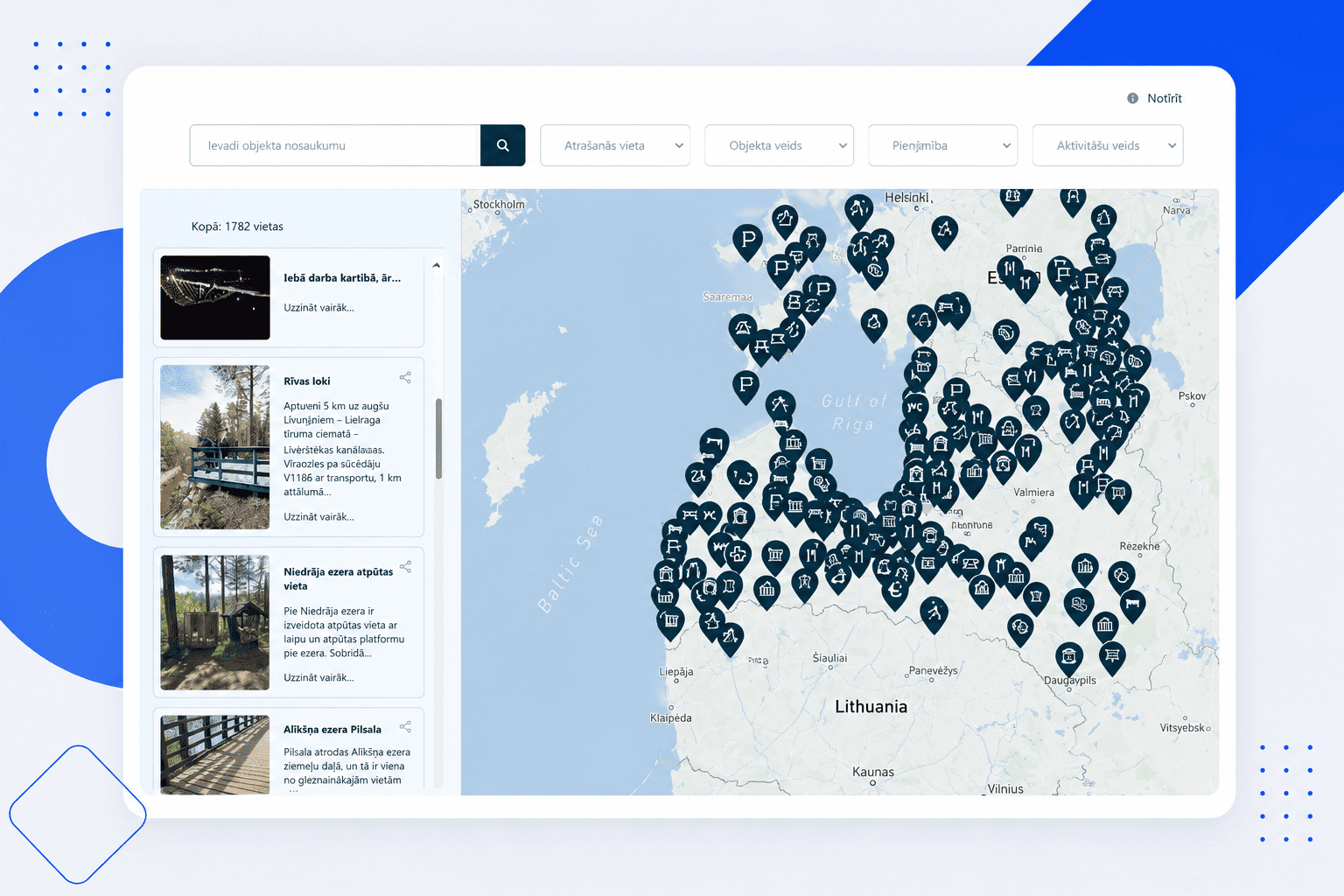
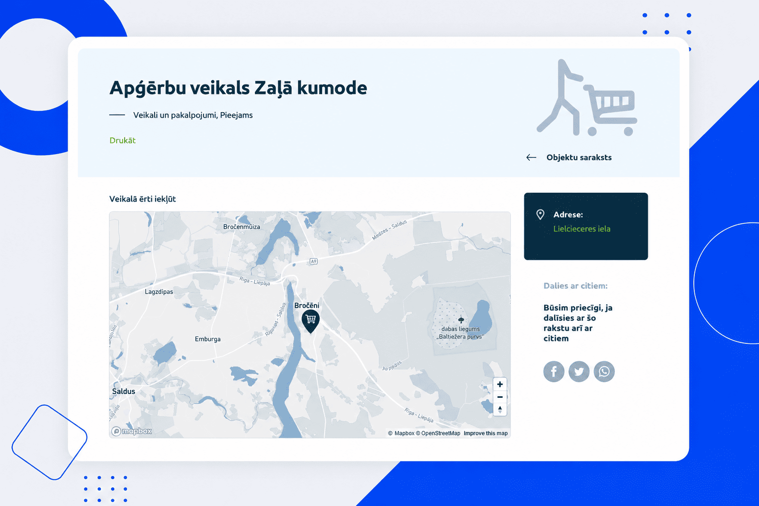
The core of the platform is an interactive map with deep filtering. Locations can be found by location, type — beaches, nature trails, accommodations, transport, medical services, and dozens of others — as well as by specific accessibility parameters: tactile features and Braille, audio information, an adapted toilet, stroller access, parking for people with disabilities. People don’t just get a list — they get exactly the locations that match their needs.
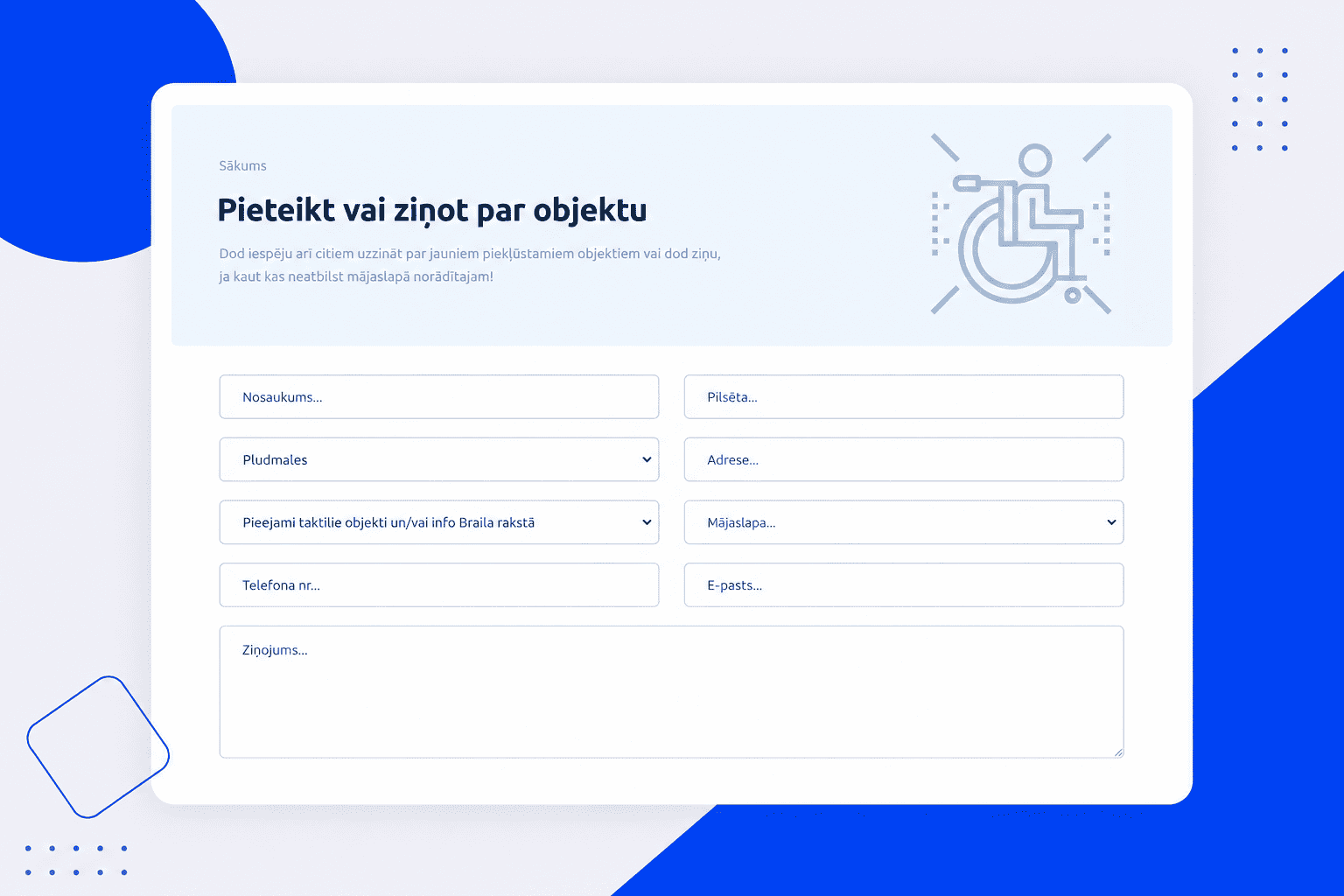
A separate part is location submission. Anyone can add or report a location by filling out a form with accessibility parameters and attaching an image — so the map is expanded by the community itself, not just by administrators.
The most important thing in this project is the interface itself. The site is built as an accessibility benchmark: colour contrast versions (black on white, white on black, a yellow scheme), text zoom up to 200%, keyboard navigation, and a clear structure for screen readers. There’s a small irony in accessibility if an accessibility map itself were inaccessible — so the standard here was higher than in a typical project.
The site operates in three languages — Latvian, English, and Estonian — matching the region it covers, and is fully adapted for mobile, since routes are often checked on the go.






The online platform for insurer Balcia: 10+ product calculators with instant pricing, a subscription model, online claims filing, and two languages.
View Project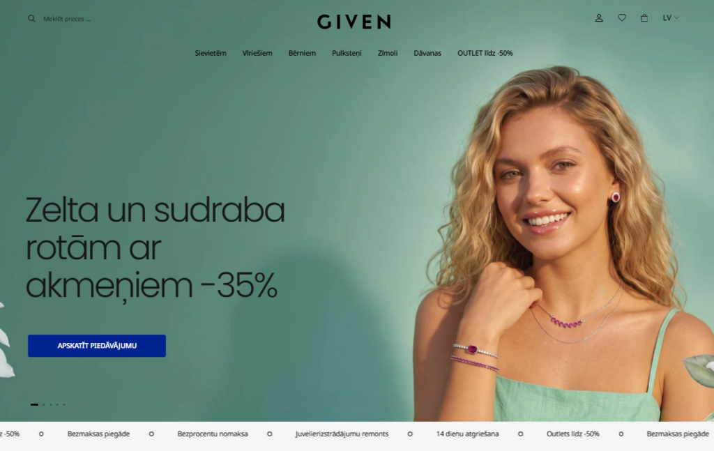
Full frontend development and technical optimization for one of the largest jewellery e-commerce stores in the Baltics, built on OpenCart — including performance optimization, Core Web Vitals, accessibility, technical SEO and GA4 analytics.
View Project